Dingle West - Brandon Map
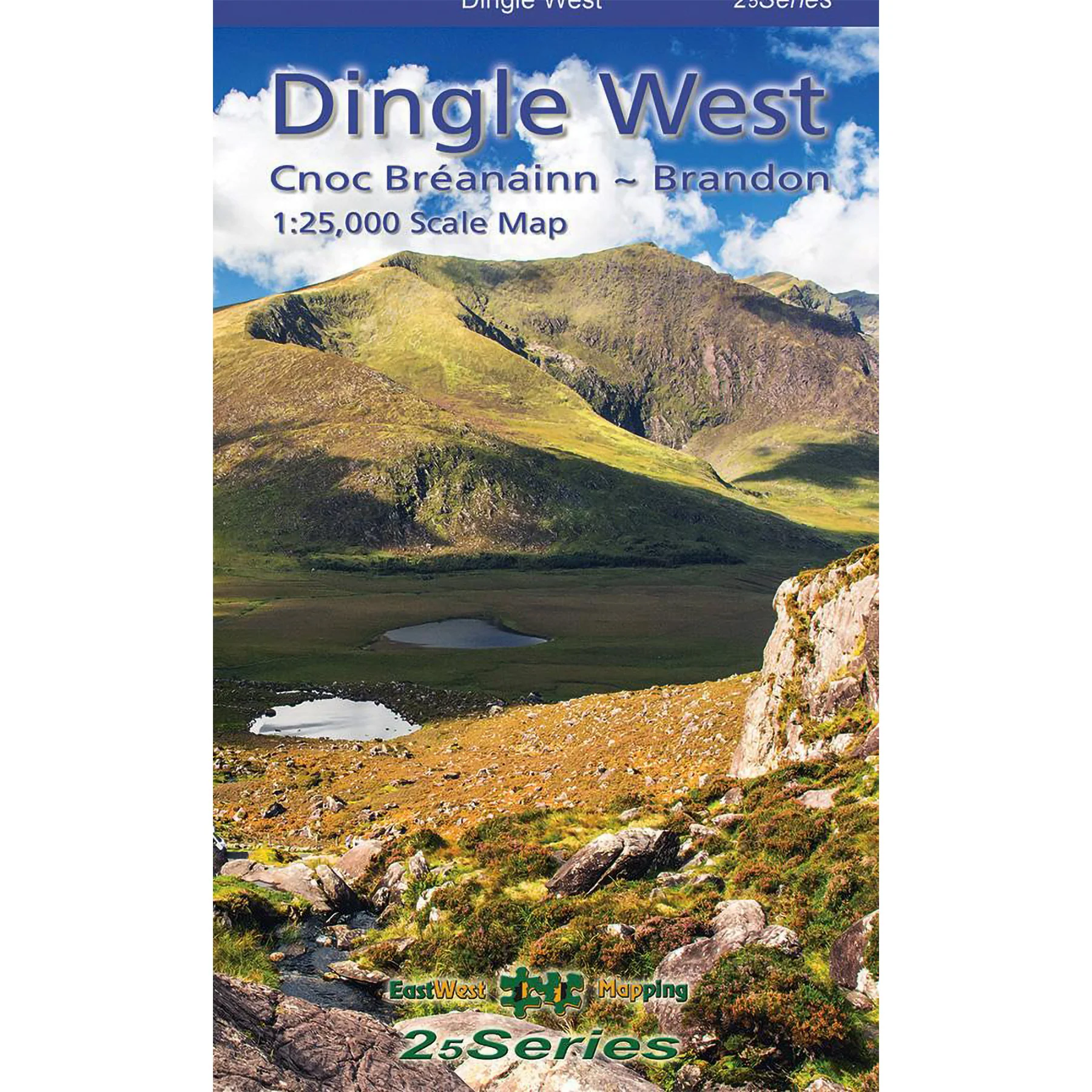
This highly detailed 1:25,000 scale map covers the western stretch of the Dingle Peninsula, from Dunquin to the Conor Pass, including Mount Brandon. Crafted to the 25Series standard, it features a 5-metre contour interval for precise navigation and highlights signposted walking routes. The topographic detail includes numerous place names and heritage sites. Printed on durable Progeo 90gsm paper, the sheet measures 1125mm by 820mm, covering 550 square kilometres, and folds down to 125mm by 205mm. The 2023 edition is available in both standard and laminated versions for enhanced durability and weather resistance. Note: Slea Head tip is not included.
Product Information
Product Information
Shipping & Returns
Shipping & Returns
Description
This highly detailed 1:25,000 scale map covers the western stretch of the Dingle Peninsula, from Dunquin to the Conor Pass, including Mount Brandon. Crafted to the 25Series standard, it features a 5-metre contour interval for precise navigation and highlights signposted walking routes. The topographic detail includes numerous place names and heritage sites. Printed on durable Progeo 90gsm paper, the sheet measures 1125mm by 820mm, covering 550 square kilometres, and folds down to 125mm by 205mm. The 2023 edition is available in both standard and laminated versions for enhanced durability and weather resistance. Note: Slea Head tip is not included.