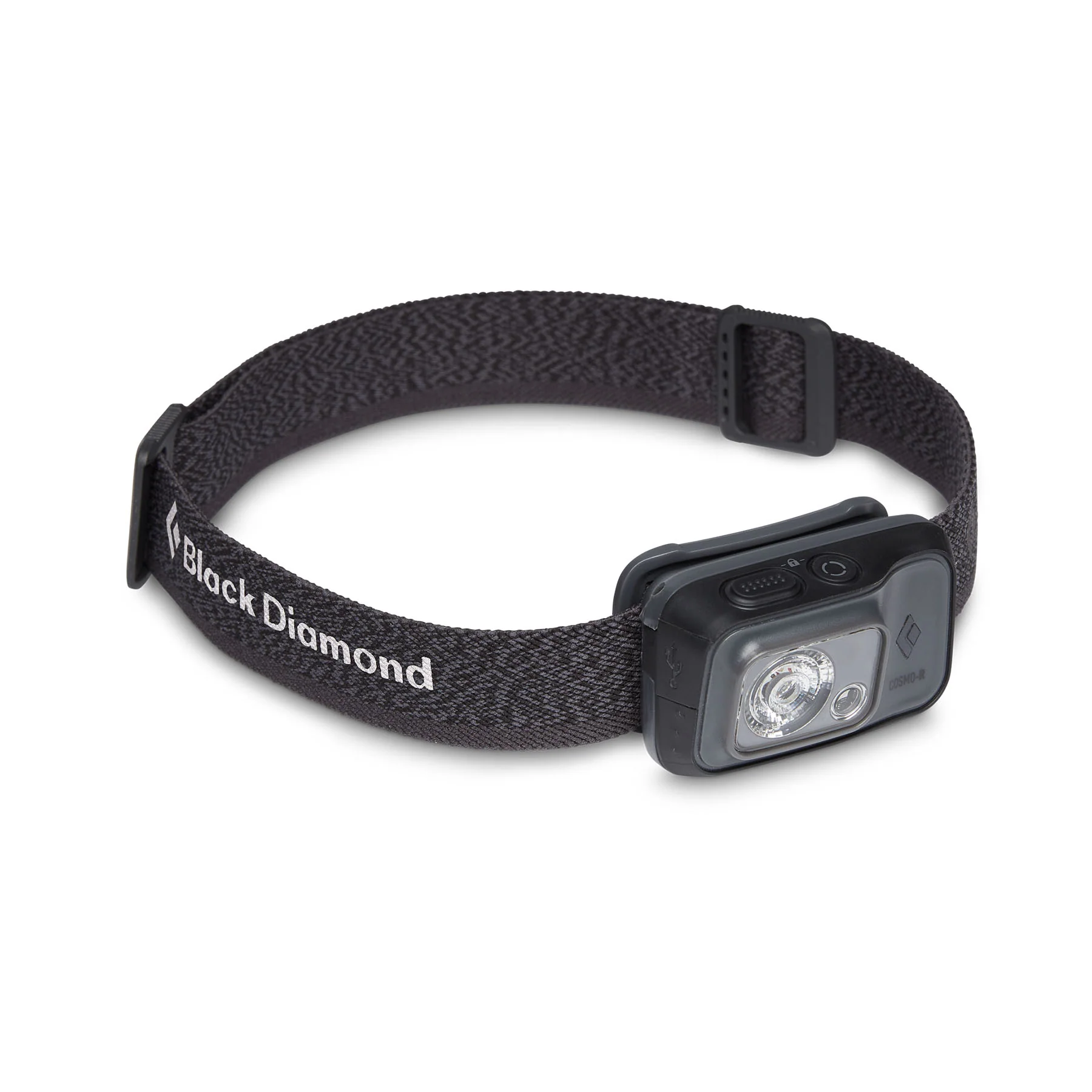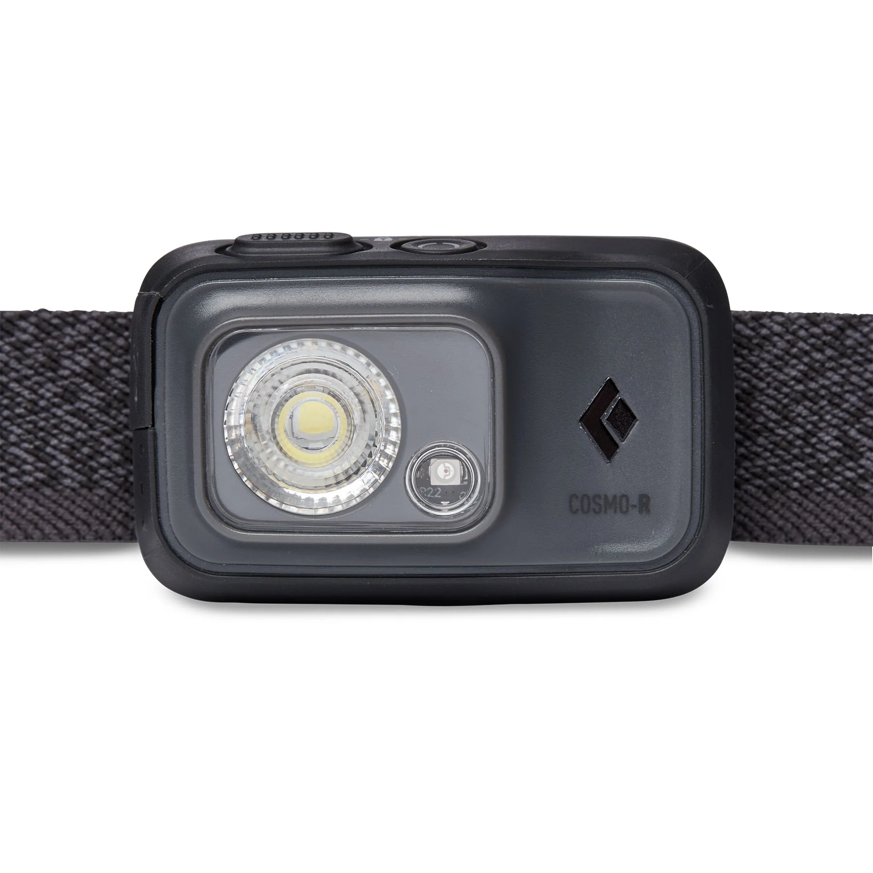
Dingle East - Slieve Mish Map
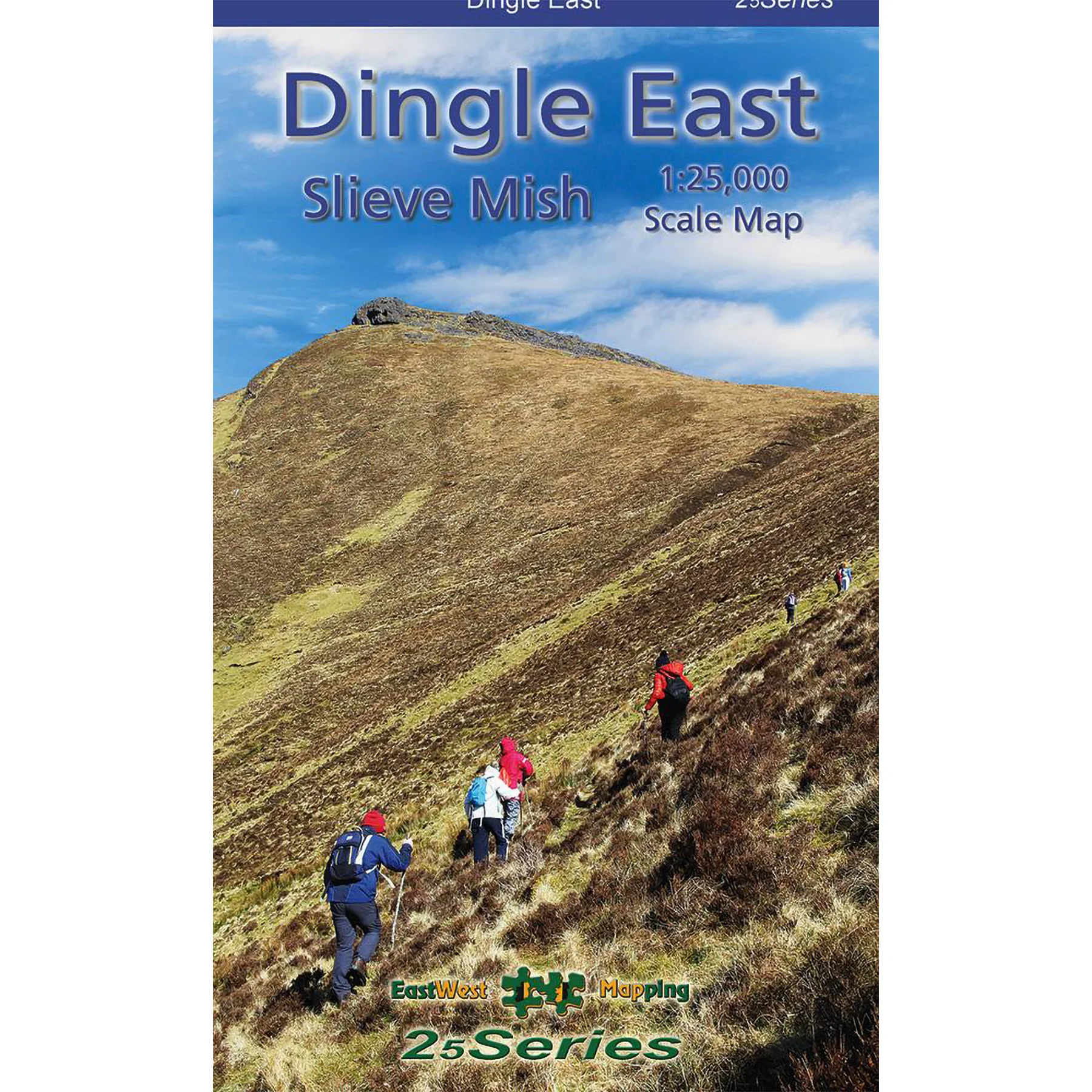
This highly detailed 1:25,000 scale map covers the eastern portion of the Dingle Peninsula, stretching from Tralee to Castlegregory and Inch. Crafted to our 25Series specifications, it features a 5-metre contour interval for precise navigation. Clearly marked walking trails, numerous place names, and heritage sites are included. Printed on premium Progeo 90gsm paper, the map measures 1125mm by 820mm, covering 550 square kilometres, and folds compactly to 125mm by 205mm. See FAQs for care advice. Available in standard and laminated versions, published in 2023.
Original: $17.07
-65%$17.07
$5.97Product Information
Product Information
Shipping & Returns
Shipping & Returns
Description
This highly detailed 1:25,000 scale map covers the eastern portion of the Dingle Peninsula, stretching from Tralee to Castlegregory and Inch. Crafted to our 25Series specifications, it features a 5-metre contour interval for precise navigation. Clearly marked walking trails, numerous place names, and heritage sites are included. Printed on premium Progeo 90gsm paper, the map measures 1125mm by 820mm, covering 550 square kilometres, and folds compactly to 125mm by 205mm. See FAQs for care advice. Available in standard and laminated versions, published in 2023.