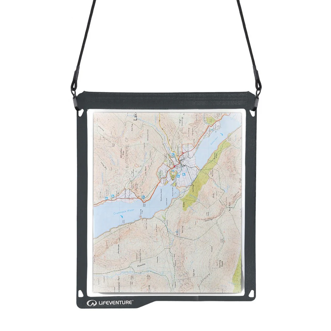
Comerragh Waterproof Map
Definitive detailed map at 1:25,000 scale covering from Clonmel to The Pike and Mahon Bridge to Fourmilewater. Covers the Comeragh Mountains, River Suir and hinterland. Produced to our 25Series standard, this general topographic map has a 5 metre contour interval for fine navigation. Signposted walking trails and greenways are depicted. We have conducted considerable research into local sites & placenames and much information is recorded on a map here for the first time. Printed on good quality Progeo 90gsm map paper. The map sheet measures 1125mm x 820mm, covering 550 sq kilometres and is folded down to 125mm x 205mm.
Surveyed & published 2018.
Product Information
Product Information
Shipping & Returns
Shipping & Returns
Description
Definitive detailed map at 1:25,000 scale covering from Clonmel to The Pike and Mahon Bridge to Fourmilewater. Covers the Comeragh Mountains, River Suir and hinterland. Produced to our 25Series standard, this general topographic map has a 5 metre contour interval for fine navigation. Signposted walking trails and greenways are depicted. We have conducted considerable research into local sites & placenames and much information is recorded on a map here for the first time. Printed on good quality Progeo 90gsm map paper. The map sheet measures 1125mm x 820mm, covering 550 sq kilometres and is folded down to 125mm x 205mm.
Surveyed & published 2018.